
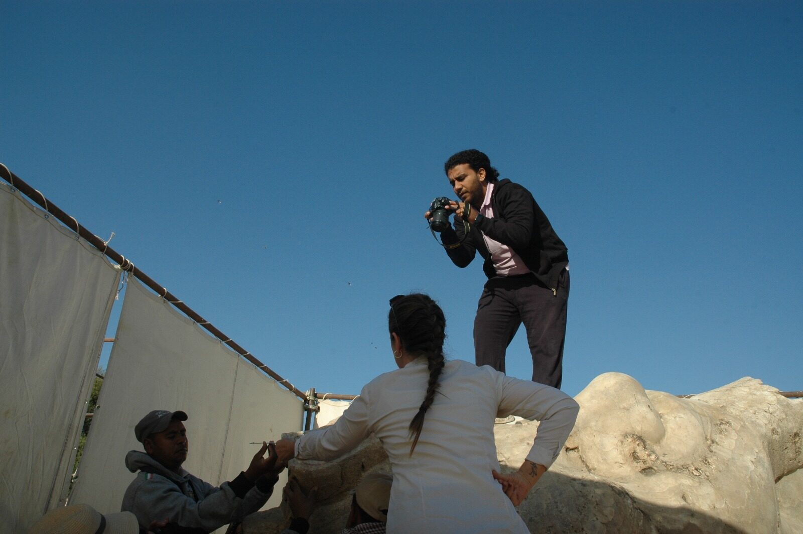
Documentation is where every restoration, renovation and conservation project begins — and it's where I built my practice. Working with Hampikian for Architecture & Heritage Management, I've documented monuments across Historic Cairo and the Theban Necropolis in Luxor, from Mamluk-era residential buildings in Darb El Labana to the colossi of Amenhotep III at Kom el Hettan.
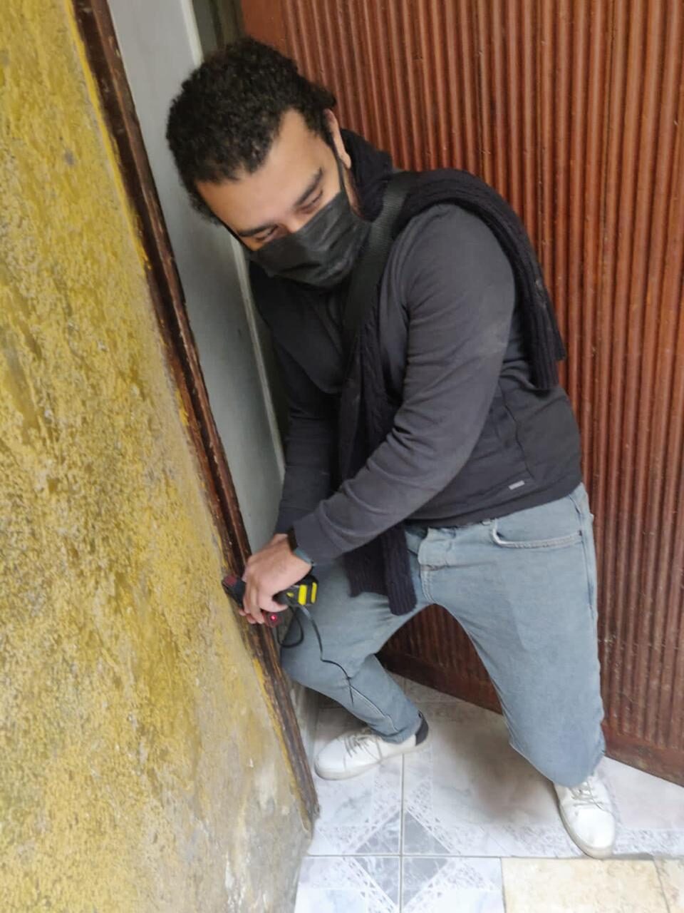
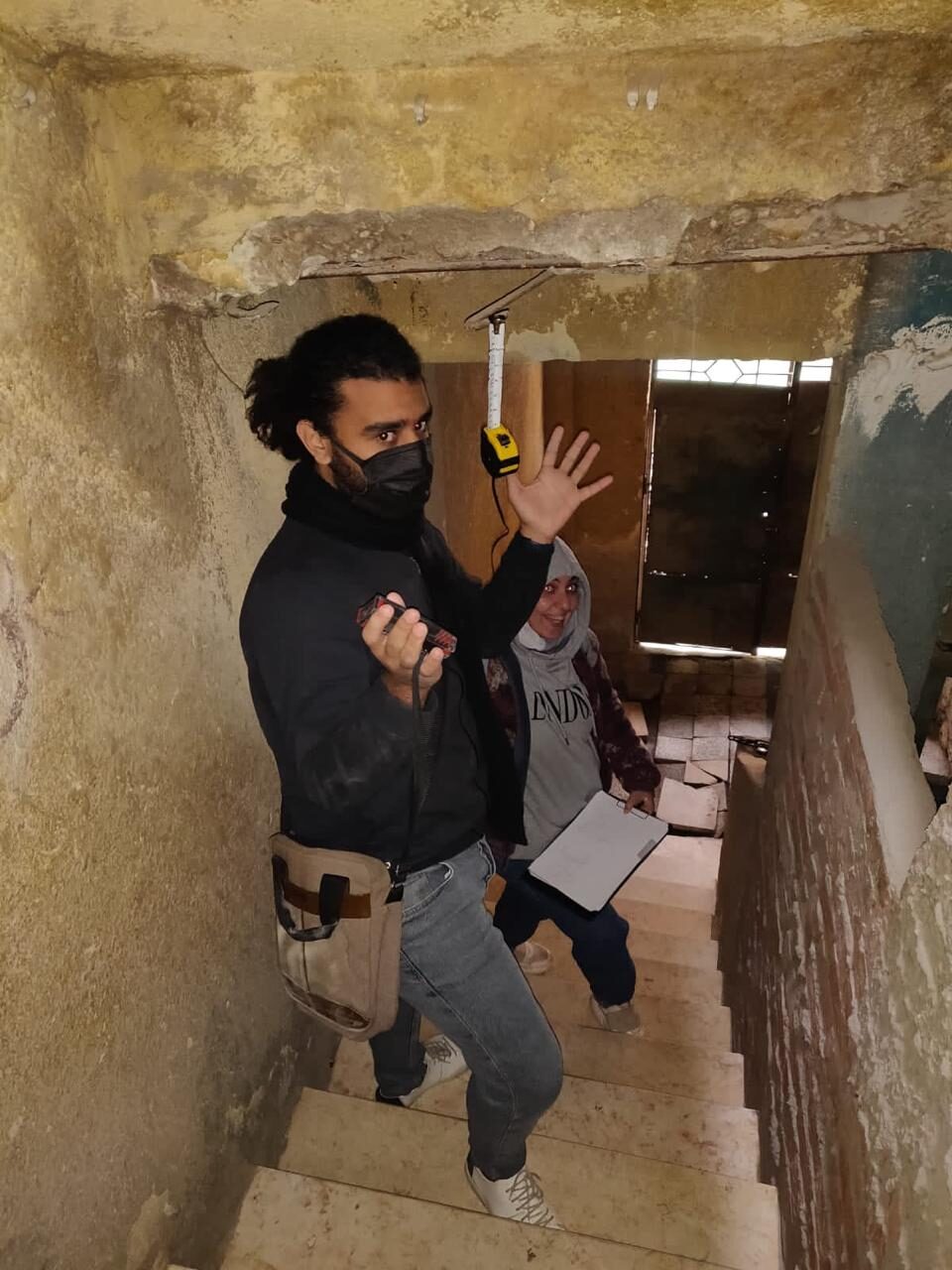
The workflow is methodical: site surveys that capture building age, construction methods, architectural value, use and condition; photogrammetry with Agisoft to generate accurate facade data; on-site cadastral sketching to produce plans for each building; and community interviews to capture the social fabric around the built environment.
The output is a living record — drawings, 3D scans, and models that serve restoration, archiving, impact assessment, and future visualization. When a site is documented well, every subsequent intervention becomes more honest and more precise.
What you get
- Urban surveys (age, height, use, condition, architectural value)
- Photogrammetric facade models (Agisoft)
- Cadastral sketches and existing-state plans
- High-precision 3D scans of heritage elements
- Cleaned scan data optimized for visualization, archiving and restoration
- Visual-identity documentation of historic districts
Tools
Process
How it runs
01
Site Visit & Assessment
Walk the site, evaluate the current state, photograph exterior and interior conditions, capture visual identity.
02
Urban Survey
Collect data per building: age, height, method of construction, architectural value, use, solid/void, state of conservation.
03
Photogrammetry
Generate accurate facade models from photographs using Agisoft. Trace details and document ornamentation.
04
Cadastral Sketching
Generate plans for each building through on-site measurement. Interview residents and capture community voice.
05
3D Scanning
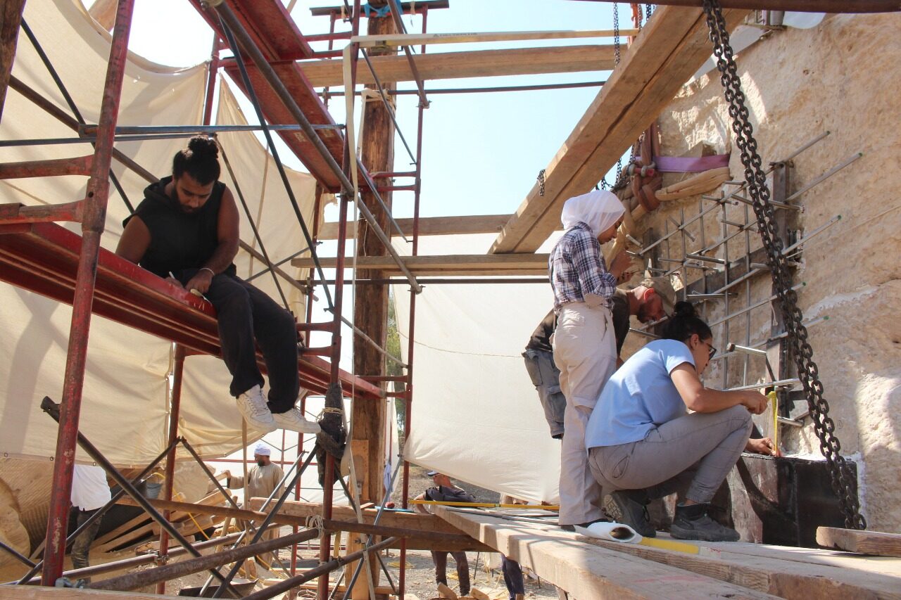
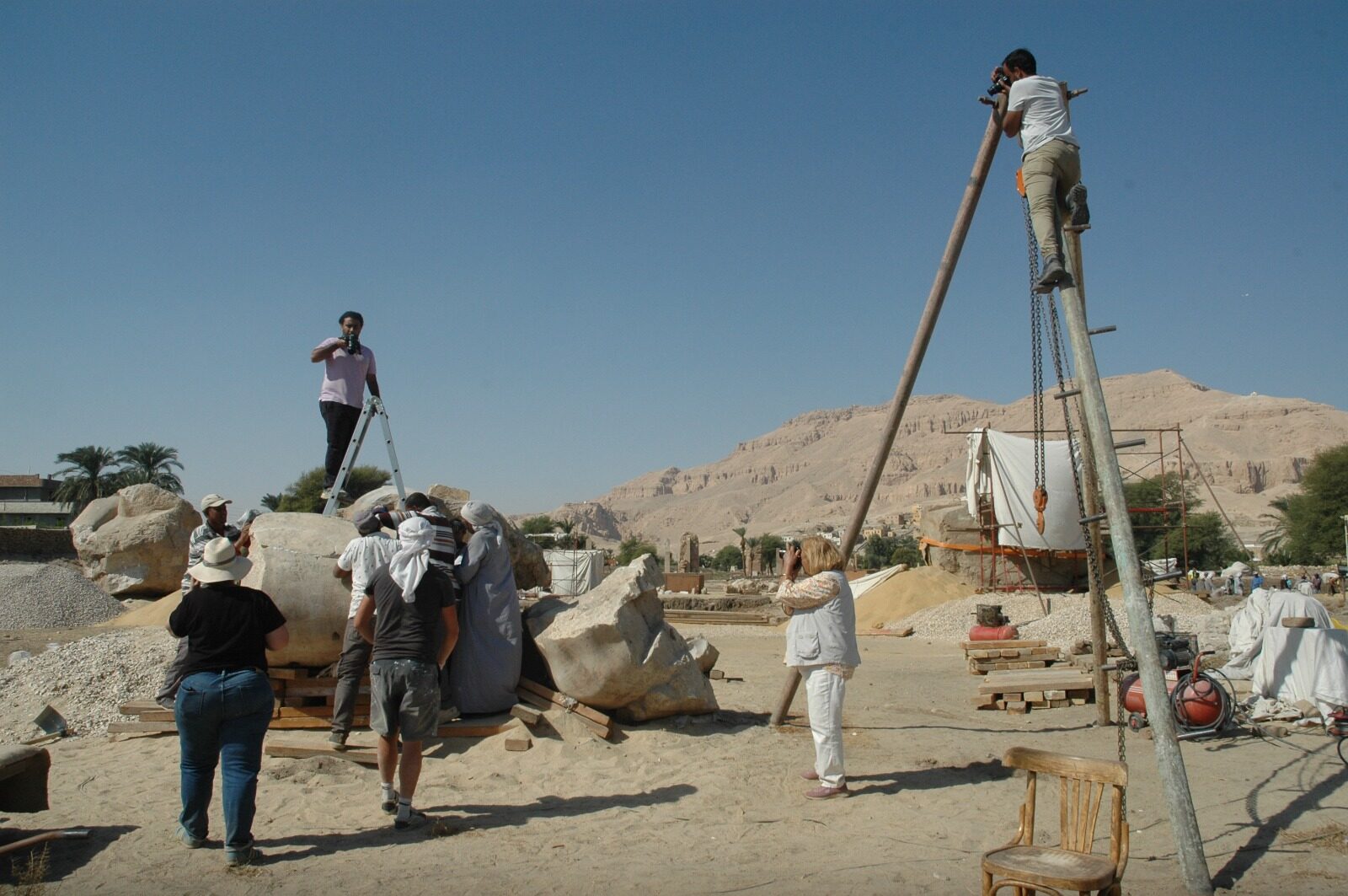
High-precision terrestrial scanning for heritage and archaeological sites. Used on the Colossi of Memnon and Amenhotep III temple conservation project.
06
Clean & Deliver
Register and clean scan data. Optimize for visualization, archiving, and restoration workflows.
From the work
Shown in